100DaysOfAI Challenge
Education Students
Learn More
Discover Satlas in 2025: learn what this AI-powered tool is, how to use its features effectively, and how it stacks up against other academic research tools.
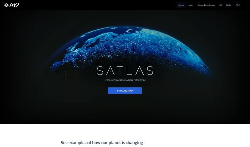
Satlas is a really cool tool from AI2 that lets you see how our planet is changing, using satellite pictures that have been marked up by AI. It’s a dynamic way to watch transformations in the environment and how cities develop over time. You can easily jump between different time periods and look at various places to see these changes unfold. It’s built to be straightforward, so whether you’re a teacher, a researcher, or just someone curious about our world, you can use it. Satlas combines advanced satellite tech with artificial intelligence, offering an engaging way to keep an eye on Earth’s ever-changing face.
Key Features of Satlas:
(Source: satlas.pdf)
Satlas was actually developed by Favyen Bastani and the AI2 team, which is part of the Allen Institute for AI. This platform provides a really unique way to keep track of global changes. It uses satellite imagery that’s been annotated by AI, which really helps when you’re observing environmental shifts or how urban areas are developing. Satlas is designed to be easy to use, making it simpler for educators, researchers, and anyone interested in our planet’s changing landscape to explore these transformations.
Satlas is a really advanced tool from AI2. It uses satellite imagery that’s been annotated by AI, giving you a unique perspective on how our planet is transforming. Here’s a simple guide to help you get the most out of Satlas:
Accessing the Platform: Just head over to the Satlas website at https://satlas.allen.ai. That’s your starting point.
Exploring Features:
Utilizing the Tool:
Engaging with AI Models:
Collaboration and Support: You can join an engaging community. It’s driven by PRIOR and other colleagues at the Allen Institute for AI, all focused on pushing computer vision and AI systems forward to help us understand the world better.
By following these steps, you’ll be able to effectively use Satlas to explore and understand the dynamic changes happening on our planet, all thanks to AI-annotated satellite imagery.
Discover more tools in similar categories that might interest you
Get weekly updates on the latest AI tools, trends, and insights delivered to your inbox
Join 25,000+ AI enthusiasts. No spam, unsubscribe anytime.