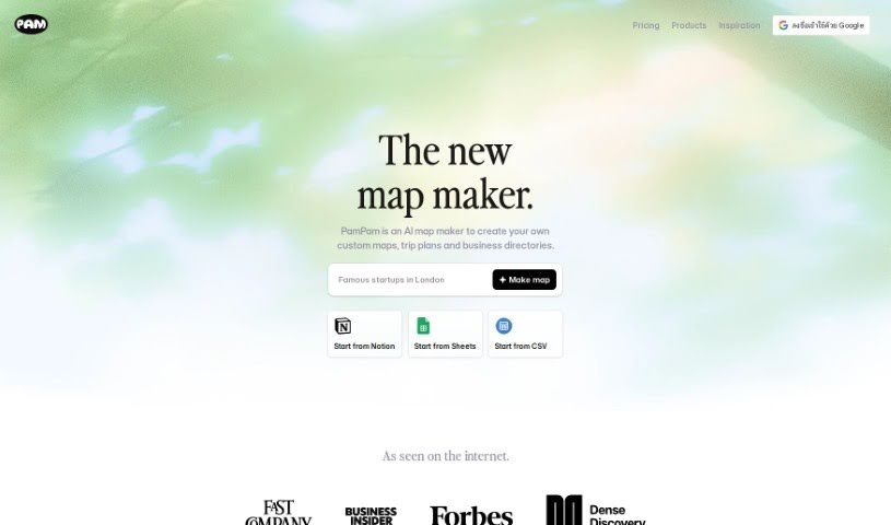
What is Pampam?
Pampam is a really neat tool, created by Helena and Carlo, that helps you build interactive maps using artificial intelligence. Their goal is to make exploring geographical data much simpler and more intuitive for everyone. You can add your own points of interest, annotate areas on maps with details, and get smart insights. It’s designed to be user-friendly, whether you’re a professional, a student, a researcher, or just exploring for fun. Basically, you can tailor maps to whatever you need or are interested in. The AI part is pretty cool because it makes the maps more interactive and gives you a better understanding of the geographical information.
Pampam also lets you create and share maps using templates. They offer different pricing plans depending on the features you need, and they really focus on making the map creation process easy for the user. What makes Pampam stand out is its smart use of AI and interactive features, which really makes exploring geographical data more engaging and insightful. You can personalize your maps, add points of interest, and really flesh out the data with details. The way Pampam handles map creation is quite unique because it’s so interactive, letting you connect with the data in a much more meaningful way than just looking at it. It’s not just about accessing data; it’s about getting smart insights and having a more engaging tool to understand geographical information.
Who created Pampam?
Pampam was brought to life by Helena and Carlo, the software creators behind it. Their vision is to help people connect with places by making map creation simple, with no coding required. Pampam launched on November 1, 2023, with a clear aim: to empower everyone to map the things that matter most to them, whether that’s their favorite spots or community projects.
What is Pampam used for?
- Personal Use: Map out your favorite places or personal projects.
- Professional Purposes: Use it for work, research, or business needs.
- Research Purposes: Leverage its AI insights for in-depth analysis.
- Recreational Purposes: Explore geographical regions you’re interested in for fun.
- Academic Possibilities: Great for students and educational projects.
- Educational Settings: Helps make learning about geography more engaging.
- Customizing Maps: Tailor maps with your own points, annotations, and details.
- Exploration of Geographical Regions: Dive into different areas and understand them better.
- Understanding and Engaging with Geographical Data: Connect with data in a more interactive way.
- Meaningful Exploration of Geographical Data: Go beyond basic viewing to truly understand the information.
- Personalizing Maps: Add points or areas of interest and annotate them with descriptions and details.
- Recreational Use: Explore geographical regions that pique your interest.
- Engaging and Insightful Exploration: Interact with geographical data in a way that provides understanding.
- Educational Assistance: Helps students understand and engage with geographical data.
- Research Tasks: Provides intelligent insights into geographical data for your studies.
- Creating Versatile Interactive Maps: Build maps for tailored and meaningful exploration.
- Enhancing Exploration Experience: Make exploring geographical information more enjoyable.
- Enriching Data: Add details for more thorough analysis.
- Promoting Meaningful Use: Encourage a deeper connection with geographical information.
- Versatility in Map Creation: Adaptable for many different map-making needs.
Who is Pampam for?
- Researchers
- Educators
- Professionals (in research, education, and other fields)
- Teachers
- Academics
- Geographers
- Cartographers
- Students
- Anyone in research and education sectors
- Individual Researchers
- Individual Educators
- Geographers
- Professionals in Geographic Studies
How to use Pampam?
Here’s how you can get the most out of Pampam:
- Start with a Template: Pick one of Pampam’s templates to get your map project rolling.
- Customize Your Map: Make it your own by adding points of interest. You can update them anytime, no expert skills needed!
- Feature Integration: Check out these handy features:
- Event Calendar: See what local events are happening.
- Business Directory: Share information about local businesses and places.
- People Directory: Share profiles and connect with members.
- Collaborate and Create:
- Interactive Map Creation: Building interactive maps is straightforward.
- Data Annotation: Add your own notes and insights to the data.
- Visual Customization: Tweak colors, add stickers, and choose cover photos to match your style or brand.
- Subscription Plans: Choose the plan that fits you best:
- Free Plan: Perfect for personal use with the basic features.
- Pro Plan: Get more views and spots for a monthly or yearly fee.
- Business Plan: Includes extra features, more views, and spots for commercial use.
- Features for User Engagement:
- AI Insights: Get smart, meaningful insights from geographic data.
- Personalization: Add your own points of interest with detailed descriptions.
- Educational & Professional Use: Great for research and education, with data you can really enrich.
- Recreational Use: The user-friendly features are great for hobbies and personal interests too.
- Limitations to Keep in Mind:
- Data Limitation: It’s mainly for geographical data.
- Technical Constraints: There’s no offline mode, and it doesn’t update data in real-time.
- API & Integration: The API for connecting with other services is limited.
By following these steps, you can easily use Pampam’s features to create interactive and insightful maps for all sorts of purposes.