20Paths
Productivity Documentation
Learn more
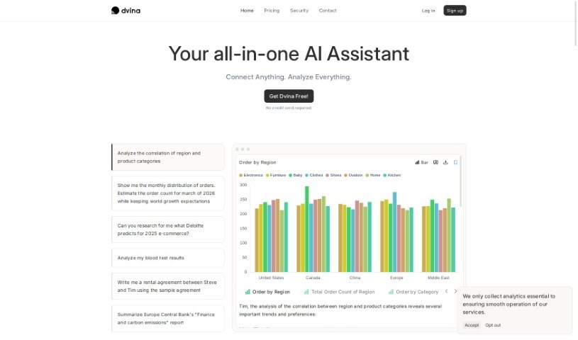
Discover what Dvina is and how it combines data analysis and geospatial tools in one platform. Learn about its integrations, real-time streaming, and
Dvina is a data analysis platform that brings all your data together in one place. It combines geospatial infrastructure with AI support to strengthen analysis, letting you import data from a range of databases and file formats and stream it in real time for instant insights.
The platform focuses on combining general data analysis with geospatial analysis to surface hidden patterns, connections, and strategic insights. It handles large, diverse datasets at any scale and emphasizes visualization to support faster, more accurate decision-making. Complex geospatial analysis is simplified, and case studies are available for reference whether you work at a large company or a small one.
Dvina was developed by a team led by its founder, whose name is not publicly documented.
Dvina combines data and geospatial analysis in a single platform. Its scalable analysis, visualization-driven decision support, and simplified spatial data processing make it a practical option for teams that want to centralize their data and act on it quickly.
Related
Discover more tools in similar categories
Weekly picks of the best AI tools we've researched and added — no spam, unsubscribe anytime.
Join 25,000+ AI enthusiasts. No spam, unsubscribe anytime.